
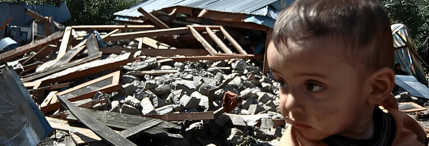
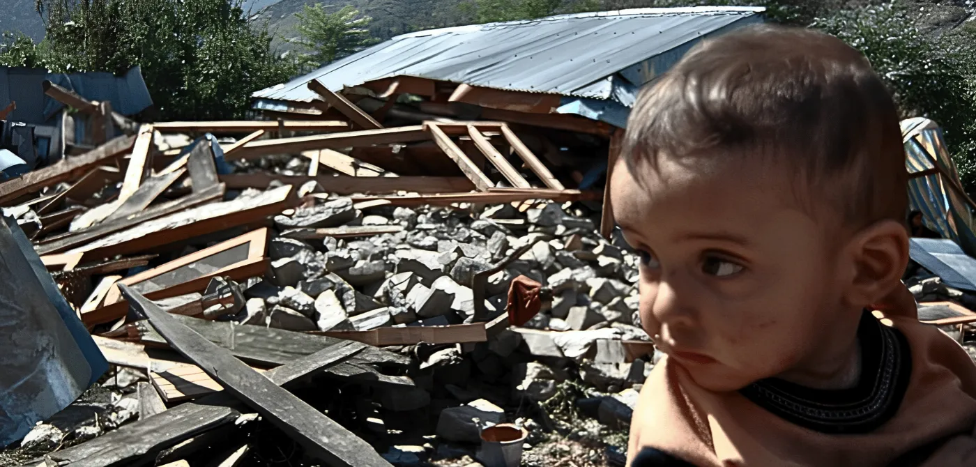



On 30 March 2026, the Jammu and Kashmir government informed the Legislative Assembly that the entire union territory had been reclassified under Seismic Zone VI, India’s highest earthquake risk category. The announcement was administrative. The reality it described was anything but.
Kalhana wrote of Suyya, the engineer who saved Kashmir from the earthquake flood of 883 AD, as a hero. The next chapter of Kashmir’s seismic story is unwritten.
The numbers behind that reclassification are sobering. A peer-reviewed vulnerability assessment of Srinagar co-authored by Shakil Ahmad Romshoo, Vice Chancellor of the Islamic University of Science and Technology, found that approximately 98 percent of the city's buildings are masonry structure, a construction type with extremely poor seismic resistance, and that 23 municipal wards carry very high to high earthquake vulnerability, with the densest and oldest parts of the city at greatest risk. The study concluded that the central question facing Kashmir is no longer whether a powerful earthquake will strike, but whether adequate measures will be in place to safeguard lives when it does (Fayaz et al. 2023).
This warning is not new. Kashmir’s chroniclers have been recording it—in Sanskrit, Persian, English, and geological sediment—for nearly 3,000 years.
Long before any scribe set ink to paper in Kashmir, the valley floor was keeping its own record. Paleoseismic studies on the Rain Fault have identified three large earthquakes in the past 3,500 years, the oldest dated between 1661 BC and 929 BC, producing several metres of surface displacement. A second followed between 1118 BC and 929 BC; a third between 1110 BC and 660 AD (Ahmad et al. 2009).
These predate every manuscript. The only witnesses were the rocks themselves. They are not silent.
The oldest written source for Kashmir’s origins is the Nilamata Purana, composed between the fourth and eighth centuries CE in 1,453 Sanskrit verses. Used by the 12th-century historian Kalhana as a primary source, it describes Kashmir not as a valley but as the primordial lake Satisar, drained into habitable land through divine intervention. As Ved Kumari Ghai observed, “If the Rajatarangini is important for Kashmir’s political history, the Nilamata is no less important for its cultural history” (1968).
The mythology preserves a geological truth. Kashmir Valley is indeed a former lake basin. The sedimentary deposits beneath the valley floor, the basin morphology, the alluvial soils, all confirm it. The Nilamata Purana does not use the word earthquake. It encodes seismic memory in cosmological language (Ram Lal Kanji Lal 1924, critical edition). Modern geology has independently confirmed the valley's former-lake origins.
Kalhana’s Rajatarangini, The First Named Earthquake
In 1150 CE, historian Kalhana composed the Rajatarangini, Kashmir’s great chronicle of kings, and embedded the first precisely documented earthquake in the valley’s history within its political narrative.
The Tarikh-i-Daudi of Abdullah records a major earthquake across North-West India and Kashmir, corroborated by accounts of destroyed monasteries in southern Tibet.
In Book V, Kalhana records that during the reign of King Avantivarman (855–883 CE), an earthquake triggered a catastrophic landslide at Khadahneyar, Baramulla. Boulders rolled into the River Behat (Jhelum), blocking its flow. The valley flooded. An engineer named Suyya was commissioned to clear the dam, deepen the river bed, and drain the valley.
Kalhana describes the scene of devastation and Suyya’s response in verse 84 of Book V (Kalhana 1900: verses 84–92; Pandit 1935): “Kashmira, intersected with many rivers and lakes, was never a very productive country ... But after the death of Jayapida, the kings who succeeded were feeble, and the waters again increased to their former bulk. And the consequence was a famine. Paddy was sold at 200 dinars per khari [a traditional unit of dry measure, roughly 16–24 kg]. To save men and animals from this calamity, Suyya, one of the sages, was born.”
And of Suyya’s engineering achievement, Kalhana concludes in verse 92: “Having cleared the bed of the stream and after constructing stone embankments, as a counter-measure against rolling boulders, he opened the dam.”
Kalhana records the economic recovery in measurable terms—the cost of one khari of rice fell from 200 to 36 dinars following Suyya’s works, a direct index of agricultural restoration after the catastrophe (Kalhana 1900: Book V, verses 84–120; Pandit 1935).
What makes Kalhana’s account remarkable is its verifiability. Roger Bilham of the University of Colorado and Bikram Singh Bali of the University of Kashmir used Kalhana’s topographic descriptions to reconstruct the former Jhelum course and locate the landslide dam. Their hydraulic calculations confirmed the flood would have required 15 to 20 cubic kilometres of impounded water and at least two years to drain. The 9th-century chronicle was precise enough for 21st century geologists to find the dam (Bilham and Bali 2014).
This is the methodological spine of this article: the chronicle was right. The earth confirmed it.
Persian Tradition, Tarikh-i-Hassan and the Sultanate Record
When Muslim rule arrived in Kashmir in the 14th century, Persian replaced Sanskrit as the language of chronicle, but the seismic record continued unbroken.
The Tarikh-i-Hassan of Pir Ghulam Hassan Khuihami (1833–1898), compiled from numerous earlier Persian works and published at Jammu, lists 13 earthquakes affecting Kashmir between approximately 1250 BC and 1885 AD, the most comprehensive pre-modern earthquake listing for the valley in any single source (Khuihami 1932).
No event in Kashmir’s pre-modern seismic history is more extensively documented across both traditions than the great earthquake of September 1555.
Hassan’s account of the 883 AD earthquake, in a translation from Persian, reads: “The second calamity of a nocturnal earthquake occurred during the reign of Raja Avantivarman in Bikram Sambet 940 (883 AD). Boulders from the mountainous ridge of Khadahneyar on the Baramula side rolled into the bed of the river Behat (Jhelum) and consequently the flow of the river was blocked” (Khuihami 1932, trans. Iyengar et al. 1999; Bilham and Bali 2014).
The word nocturnal is not incidental. It is the same detail—an earthquake striking in darkness or in the vulnerable hours of early morning—that recurs in the 1555 accounts, in the 2005 disaster at 8:50 am as people slept after the dawn prayer, and in Bilham’s warning that a future nocturnal Himalayan earthquake could kill more than 100,000. The Persian chronicles were paying attention to timing. So were the geologists who came after them.
Hassan’s entries corroborate Kalhana on the 883 AD event and independently document the 1123 AD earthquake and landslide at Khandanyar, which again blocked the Jhelum, a second great flood separated from the first by three centuries.
The broader Persian corpus—the Baharistan-i-Shahi (anonymous, 1615), the Tarikh-i-Kashmir of Sayyid Ali (1579), the Tarikh-i-Kashmir of Haider Malik Chadurah (1620–21), and the Waqi’at-i-Kashmir of Muhammad Azam Didamari (1747)—together provide a continuous if uneven record across which earthquake references can be tracked. Cross-referencing these sources with Sanskrit texts, researchers have recovered eight medieval seismic events absent from published scientific catalogues. The gaps correspond precisely to Kashmir’s most politically turbulent periods; history remembers what power chooses to preserve (Ahmad et al. 2009).
The Tarikh-i-Daudi of Abdullah records a major earthquake across North-West India and Kashmir, corroborated by accounts of destroyed monasteries in southern Tibet. Most seismologists date this event to 6 June 1505 and estimate its magnitude at Mw 8.2 on the the Moment Magnitude (Mw) scale, though Iyengar et al. (1999) place it on 6 July (Iyengar et al. 1999; Ambraseys and Douglas 2004). A separate, smaller earthquake near Kabul struck about a month later, estimated at Mw 7.2 (Iyengar et al. 1999).
No event in Kashmir’s pre-modern seismic history is more extensively documented across both traditions than the great earthquake of September 1555. Persian and Sanskrit accounts agree on the physical effects. In Jalu and Damper, the earthquake sheared homes and trees from their foundations and carried them across the Jhelum to the opposite bank. The town of Madar was buried by landslide. Villages Hassanpur and Hussainpur were shifted across the Veshaw River. Springs disappeared and new ones erupted. Fissures opened across the landscape, and damage extended 140 kilometres southeast of Srinagar. Foreshocks preceded the midnight mainshock by months; aftershocks continued for days (Ambraseys and Douglas 2004; Iyengar et al. 1999).
Modern seismology assigns it a magnitude of 7.6 to 8.2 Mw. The geological legacy is starker still: no major earthquake has since ruptured the 250-kilometre Kashmir seismic gap on the Main Himalayan fault. At a slip rate of 16 millimetres per year, the accumulated strain since 1555 stands at approximately 7.4 metres—sufficient, scientists calculate, for an earthquake of Mw 7.7 to 7.8 (Bilham 2019).
The chronicles recorded what happened in 1555. The geology records what has been building silently ever since.
British Period
British administration brought a third source tradition to Kashmir’s earthquake record: official correspondence, newspaper accounts, and Geological Survey of India investigations. Walter Roper Lawrence’s The Valley of Kashmir (1895) documented the 1885 Baramulla earthquake: 3,500 dead by Lawrence's count, 75,000 huts destroyed, and 2,000 residents lost in Srinagar alone in a single night. Lawrence’s observation that poorly constructed huts collapsed completely onto sleeping residents prefigures with uncomfortable precision the structural vulnerability findings of 2023 (Lawrence 1895: p. 478).
The 1905 Kangra earthquake’s physical signatures remain visible today in the earthquake-damaged fabric of medieval temples in the Chamba region.
The 1885 earthquake has since been formally assessed using the ESI 2007 scale, confirming it as a significant thrust-fault rupture event on the Himalayan convergent boundary, validating Lawrence’s field accounts with modern seismological methodology (Ahmad et al. 2014).
The 1905 Kangra earthquake (Mw 7.8) was investigated by C.S. Middlemiss of the Geological Survey of India, whose “Kangra Earthquake of 4th April 1905” (GSI Memoir Vol. 38, Calcutta, 1910) remains the foundational documentary source. It killed 7,000 to 8,000 in Jammu and Kashmir, with 4,000 to 5,000 deaths in the Kashmir Valley, and demolished approximately 100,000 buildings. Its physical signatures remain visible today in the earthquake-damaged fabric of medieval temples in the Chamba region (Joshi and Thakur 2016).
2005: Day the Earth Split Open
At 8:50 am on 8 October 2005, Kashmir experienced the deadliest earthquake in its entire recorded history. The magnitude was 7.6; the epicentre 19 kilometres northeast of Muzaffarabad (Avouac et al. 2006; Parsons et al. 2006). At least 79,000 people died; other estimates say 87,000. Over 69,000 were injured. Approximately 2.8 million lost their homes. In Balakot, 90% of the city was rubble. More than 780,000 buildings were destroyed or damaged beyond repair, per widely reported post-disaster government and humanitarian assessments.
The earthquake produced something no Himalayan earthquake in recorded history had produced before: a surface rupture 75 kilometres long. Robert Yeats of Oregon State University, one of the first geologists to walk the fault line, was unequivocal: “In the known historic and recent records, not one of the earthquakes in the Himalaya has ever produced a surface rupture, not in Nepal, or India, or anywhere. This rupture was the first one” (Yeats et al. 2006).
The Neelum River changed course. A new waterfall formed. Over 140 aftershocks followed.
In its scale, 2005 was unprecedented. In its pattern, midnight earthquakes, triggered landslides, blocked rivers, collapsed construction, it was the continuation of a sequence documented across 3,000 years of Kashmir’s textual record.
Three Traditions, One Warning
The Nilamata Purana encoded Kashmir’s seismic origins in cosmological myth. Kalhana recorded the first named earthquake in precise administrative detail. The Persian chroniclers maintained the record across dynasties. Lawrence and Middlemiss brought scientific methodology to what had previously been kept only in manuscript. Modern seismology has confirmed, with GPS and geophysical instrumentation, what all three prior traditions already knew.
The reclassification to Seismic Zone VI in 2026, mandated under the Bureau of Indian Standards’ revised code IS 1893:2025, corrects a long-standing inconsistency. The entire Himalayan arc is threaded by the same active megathrust fault, yet earlier maps divided Jammu and Kashmir across Zones IV and V (Bureau of Indian Standards 2025).
Bilham has warned that 10 of 15 Himalayan fault segments are mature for earthquakes of magnitude 8 or greater, and that a future nocturnal Himalayan earthquake could kill more than 100,000.
Romshoo's peer-reviewed vulnerability assessment found 23 municipal wards of Srinagar in very high to high earthquake vulnerability. The primary risk factors are thick alluvial soils, unregulated construction, and disproportionate building heights (Fayaz et al. 2023). Bilham has warned that 10 of 15 Himalayan fault segments are mature for earthquakes of magnitude 8 or greater, and that a future nocturnal Himalayan earthquake could kill more than 100,000 (2019).
Kalhana wrote of Suyya, the engineer who saved Kashmir from the earthquake flood of 883 AD, as a hero. The next chapter of Kashmir’s seismic story is unwritten. Whether it records catastrophe or preparedness depends on decisions being made now, in planning offices and construction sites and government chambers, by people who may not know they are making them.
The Jhelum flows normally today. For now.
Syed Aamir Sharief Qadri holds an MPhil in History from Punjabi University, Patiala, and a postgraduate degree in History from the University of Kashmir. He has written on Kashmir’s history, culture and environment since 2019, with research interests in the valley’s Sanskrit and Persian manuscript traditions.